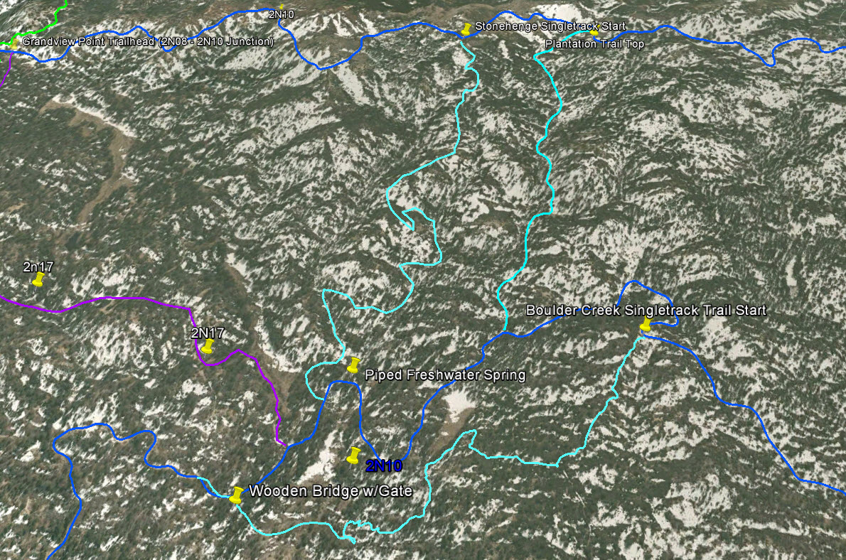
Plantation Trail - Big Bear Lake, CA ( GPS MAP Pictures )
Elevation: Bottom 7400ft, Top 7700ft
Distance: Just under a mile!
Plantation Trail is a nice shortcut and fun singletrack when riding the 2N10 West side trails.
Guide by Grayson - www.BigBearHostel.com
Guide by Grayson - www.BigBearHostel.com
Plantation Trail as seen in Google Earth
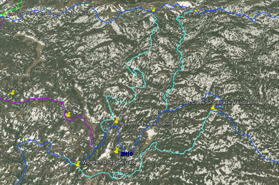
Download bigger version of this 3d image.
| 2n10westtrailsge..jpg |
Download .KMZ file to Google Earth or your GPS device below!
| plantation_trail__2n52y.kmz |
Plantation Trail Video
Coming Soon..