Siberia Creek Trail (AKA Gunsight) - Big Bear Lake, CA ( GPS MAP Pictures )
Elevation Start 7600ft, End 7040ft
Distance: Just less than a mile from 18 Trailhead to Castle Rock
This is some bonus singletrack from the Champion Lodgepole Pine meadow. Look around to the SE of the C. Lodgepole and you will see a trailhead sign. Its out and back and most people turn around when it gets steep and treacherous. You will have a great view of Snow Valley and the Arctic Circle from the end.
The GPS track below in Everytrail shows the return trip only. Its almost 600 feet of descent, then turn around and climb back up.
Guide by Grayson - www.BigBearHostel.com
The GPS track below in Everytrail shows the return trip only. Its almost 600 feet of descent, then turn around and climb back up.
Guide by Grayson - www.BigBearHostel.com
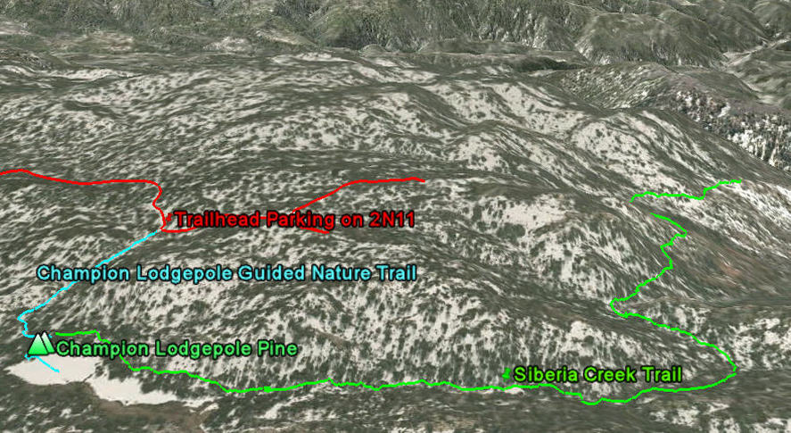
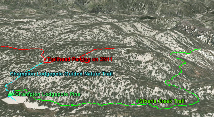
Siberia Creek Trail as seen in Google Earth
NOTE - you can hike to it from North or South.
Download .KMZ file to Google Earth or your GPS device below!
| siberiacreekge.jpg |