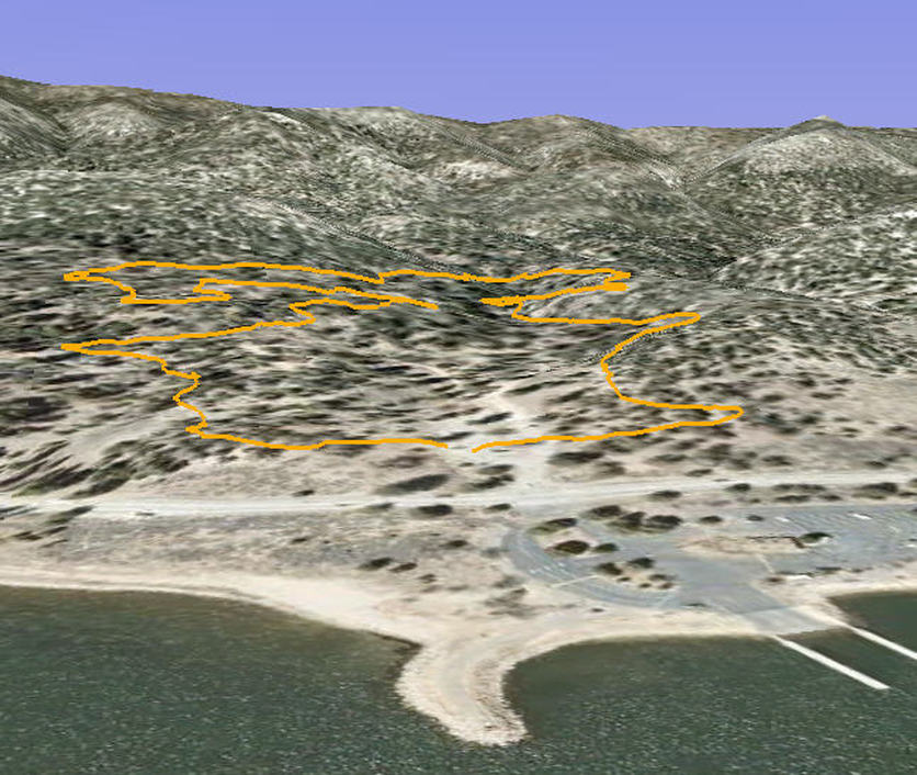
Woodland Nature Trail - Big Bear Lake, CA ( GPS MAP Pictures )
Elevation: Start 6790ft
Distance: 1.6 mile loop
With an elevation change of only 250ft over 1.5 miles, this trail is the most moderate hiking trail in Big Bear.
This is a favorite local trail for a quick hike with the dog. Mountain Bikers, photographers, families all enjoy this easy loop. Turn around and do it in reverse if you want more distance.
You can pickup the trailguide at the Discovery Center, at the trailhead (sometimes), or save paper and:
Download Woodland Trail self guided tour to your phone or computer to print (1st half) (2nd half)
Trail by Grayson - www.BigBearHostel.com
Woodland Nature Trail (as seen in Google Earth ) 3D
| woodland_nature_trail.kmz | |
| File Size: | 13 kb |
| File Type: | kmz |
